Templat:Location map Timor Leste: Perbedaan antara revisi
Tampilan
Konten dihapus Konten ditambahkan
Tidak ada ringkasan suntingan |
|||
| Baris 5: | Baris 5: | ||
| left = 123.9 |
| left = 123.9 |
||
| right = 127.5 |
| right = 127.5 |
||
| image = East Timor location map.svg |
| image = East Timor adm-2 location map.svg |
||
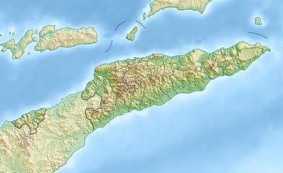
| image1 = East Timor relief location map.jpg |
| image1 = East Timor relief location map.jpg |
||
}}<noinclude>{{Location map/Info}} |
}}<noinclude>{{Location map/Info}} |
||
Revisi terkini sejak 9 Agustus 2017 12.16

| ||||
| nama | Timor Leste | |||
|---|---|---|---|---|
| koordinat perbatasan | ||||
| -7.8 | ||||
| 123.9 | ←↕→ | 127.5 | ||
| -10.0 | ||||
| titik pusat peta | 8°54′S 125°42′E / 8.9°S 125.7°E | |||
| gambar | East Timor adm-2 location map.svg | |||
| image1 | East Timor relief location map.jpg | |||

| ||||
