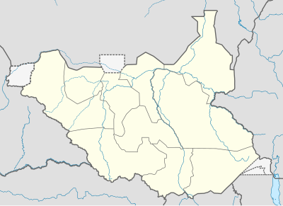
Templat:Location map Sudan Selatan: Perbedaan antara revisi
Tampilan
Konten dihapus Konten ditambahkan
k r2.6.5) (bot Menambah: ko:틀:위치 지도 남수단 |
k r2.6.5) (bot Menambah: mr:साचा:Location map दक्षिण सुदान, vi:Bản mẫu:Location map South Sudan |
||
| Baris 28: | Baris 28: | ||
[[lt:Šablonas:Location map Pietų Sudanas]] |
[[lt:Šablonas:Location map Pietų Sudanas]] |
||
[[ml:ഫലകം:Location map South Sudan]] |
[[ml:ഫലകം:Location map South Sudan]] |
||
[[mr:साचा:Location map दक्षिण सुदान]] |
|||
[[nl:Sjabloon:Positiekaart Zuid-Soedan]] |
[[nl:Sjabloon:Positiekaart Zuid-Soedan]] |
||
[[no:Mal:Kartposisjon Sør-Sudan]] |
[[no:Mal:Kartposisjon Sør-Sudan]] |
||
| Baris 35: | Baris 36: | ||
[[ru:Шаблон:ПозКарта Южный Судан]] |
[[ru:Шаблон:ПозКарта Южный Судан]] |
||
[[sr:Шаблон:Location map Southern Sudan]] |
[[sr:Шаблон:Location map Southern Sudan]] |
||
[[vi:Bản mẫu:Location map South Sudan]] |
|||
[[zh:Template:Location map South Sudan]] |
[[zh:Template:Location map South Sudan]] |
||
</noinclude> |
</noinclude> |
||
Revisi per 24 Juli 2011 14.13

| ||||
| nama | Sudan Selatan | |||
|---|---|---|---|---|
| koordinat perbatasan | ||||
| 12.7 | ||||
| 23.7 | ←↕→ | 36.4 | ||
| 3.2 | ||||
| titik pusat peta | 7°57′N 30°03′E / 7.95°N 30.05°E | |||
| gambar | South Sudan location map.svg | |||
